Matatzspitze in Passeiertal/Val Passiria – Easy Mountain Hike with Views
From a lonely mountain hamlet through alpine pastures to the Matatzspitze/Cima Matatz, a panoramic mountain in the Texelgruppe/Gruppo di Tessa in Passeiertal/Val Passiria. On the orographic right side of the River Passer in Passeiertal/Val Passiria, the Matatzspitze/Cima Matatz soars up out of the eastern foothills of the Texelgruppe/Gruppo di Tessa. Rarely does a walk offer so many wayside attractions as this ascent of the panoramic mountain above St. Martin/San Martino in Passeiertal/Val Passiria.
Our summit hike begins at a lonely mountain hamlet where we immediately begin to experience the diversity of the mild alpine pastures. We soon reach a Waal, an ancient irrigation channel, which still plays an important role in agriculture today. The Waalweg, the path running alongside the irrigation channel, takes us into a new vegetation zone. We then follow a path through terraced terrain across the tree line to the ridge below the summit of the Matatzspitze/Cima Matatz.
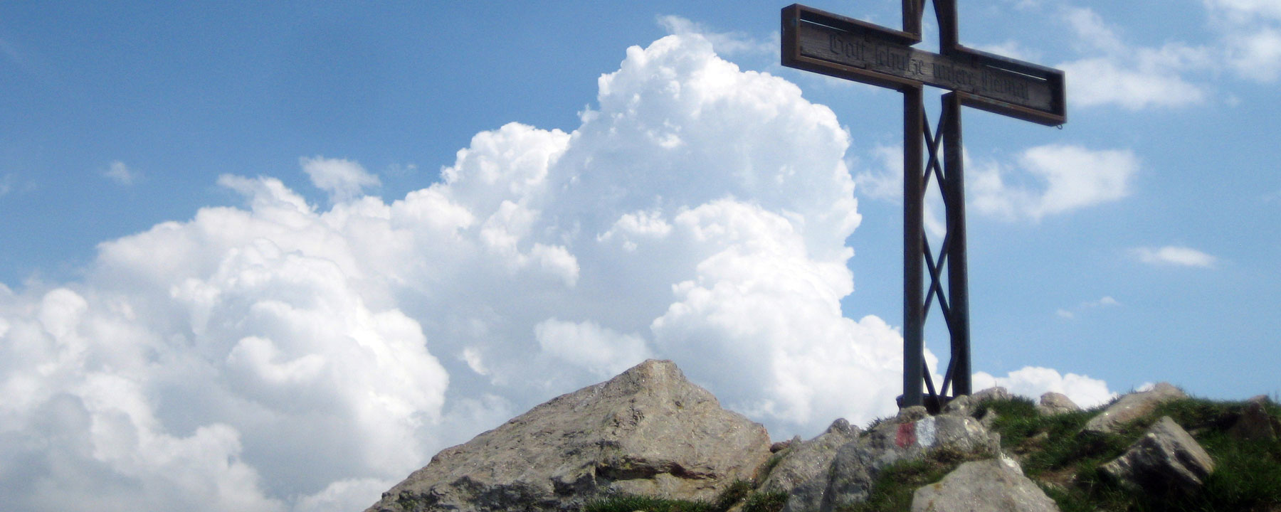
The views gradually open up as we approach the summit. The 360° panorama is enough to make the hearts of even experienced hikers soar. The Kolbenspitze/La Calva appears to be almost within reach, the Ötztaler Alpen/Alpi Venoste are only a stone’s throw away and the view to the south extends as far as the mountains beside Lake Garda.
Info:
Route rating/description: easy mountain hike
Mountain range: Naturpark Texelgruppe/Parco Naturale Gruppo di Tessa
Length: 9 km
Time: 5 hours
Highest point: 2180 m
Elevation gain: 1000 m
Ideal time of year: May to October