Almerlebnisweg Pfossental – In the Naturally Powerful Schnalstal
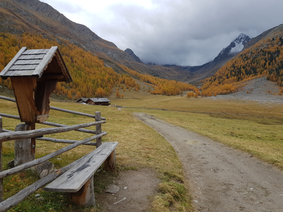
The Almerlebnisweg Pfossental (Pfossental Mountain Pasture Trail) runs through a landscape formed by natural forces to the charming Eishof at the head of the valley. Together we will discover the unmistakable nature of this upper alpine valley. The lowest point of the Pfossental/Val di Fosse at Schnals/Senales forms the border between the Schnalskamm/Cresta di Senales and the Texelgruppe/Gruppo di Tessa. Up until a few decades ago, the permanent settlements in this area were some of the highest in the Alps. The farmsteads Eishof (2083 m), Metzlaunhof (2023 m) and Rableit (2004 m), where farming was actively practised all year round, are now largely managed as livestock farms only, and as such inhabited only in the summer months.
This easy path begins at Vorderkaserhof and ends at the head of the valley at Eishof. The Almerlebnisweg incorporates a series of interesting display panels and is part of the Meraner Höhenweg/Alta Via di Merano. This adventure trail uses interactive elements and display boards to present 18 different items of interest. Alongside information on a fascinating array of flora, fauna and geology, which show fascinating peculiarities in the Pfossental, there is also information on alpine farming. The history of the valley is presented at the start of the hike, and cheese production is illustrated at a show dairy. At Mitterkaser there is a model of the different stages of butter manufacture. A book at Rableid Alm mentions the ancient pasture rights and rules of conduct. A panel displayed beside the Waal starting at Mitterkaser provides an insight into this historical irrigation system.
Info:
Route rating/description: easy hike
Mountain range: Naturpark Texelgruppe/Parco Naturale Gruppo di Tessa
Length: 9.5 km
Time: 3 ½ hours
Highest point: 2078 m
Elevation gain: 380 m
Ideal time of year: May to October